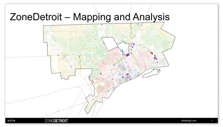
The Citywide Mapping Analysis has been released. The analysis provides a basis of the geographic and spatial distribution of different zoning and land use across the City, as well as revealing clear development patterns historically and today.
Visualizing this information illuminates the evolution of the City and demonstrates the relationship between residential neighborhoods, commercial corridors, and industrial districts as the overall framework of the City’s form. If you have any comments on the analysis please leave your thoughts in the space below.
2 thoughts on “Mapping Analysis”
Why are almost no parks zoned ‘parks and recreation’?
Detroit first added the PR category not until 1978.
When zoning was first implemented in 1940, it appears most parkland was zoned R1, which effectively prevented any kind of obnoxious or detrimental uses. It appears the larger parks, such as Rouge Park, were eventually rezoned from R1 to PR, but many of the smaller ones remain R1